In the bustling city of Mumbai, the challenge of groundwater depletion is becoming increasingly apparent. India is extracting groundwater at an alarming rate, primarily due to urbanization that has led to a significant reduction in green spaces and water bodies. This situation is exacerbated by the diminishing number of rainy days and fluctuating annual rainfall patterns caused by climate change. As a result, accurately mapping aquifers to identify both groundwater reserves and potential recharge zones has become an urgent necessity.
The complexity of groundwater systems in India is heightened by diverse geological formations, varying soil types, and intricate aquifer structures. Collecting reliable data on groundwater storage, quality, and movement can be particularly challenging, especially in areas with difficult terrain or socio-political conflicts. However, the integration of Remote Sensing and Geographic Information Systems (GIS) into groundwater management practices presents a promising solution. These advanced tools provide high-resolution satellite-based monitoring capabilities, enabling better modeling and monitoring of groundwater reserves and quality.
Moreover, the utilization of Artificial Intelligence (AI) algorithms facilitates real-time monitoring, allowing for continuous assessment of groundwater quality. This rapid response capability is crucial for identifying and mitigating contamination risks. AI models contribute to a nuanced understanding of groundwater behavior, enhancing the effectiveness of management strategies aimed at sustainable aquifer use.
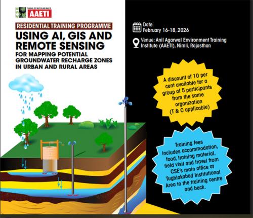
To equip professionals with the necessary skills to tackle these challenges, the Centre for Science and Environment (CSE) is launching a specialized three-day residential training program. This program will focus on leveraging advanced technologies to estimate groundwater reserves, understand aquifer movement, explore recharge options, and monitor groundwater effectively. Key topics include the extent and distribution of aquifers in India, the impact of urbanization on these vital resources, and hands-on training in tools such as QGIS, Google Earth Pro, and GPS.
Participants will also gain insights into the application of GIS and Remote Sensing in aquifer mapping, understanding coordinate systems, map scales, projections, and utilizing the Soil and Water Assessment Tool (SWAT) for hydrological modeling. This comprehensive training aims not only to enhance individual capabilities but also to foster a collaborative approach towards sustainable groundwater management in both urban and rural settings.